Topography
Topographic Surveys and Mapping Services
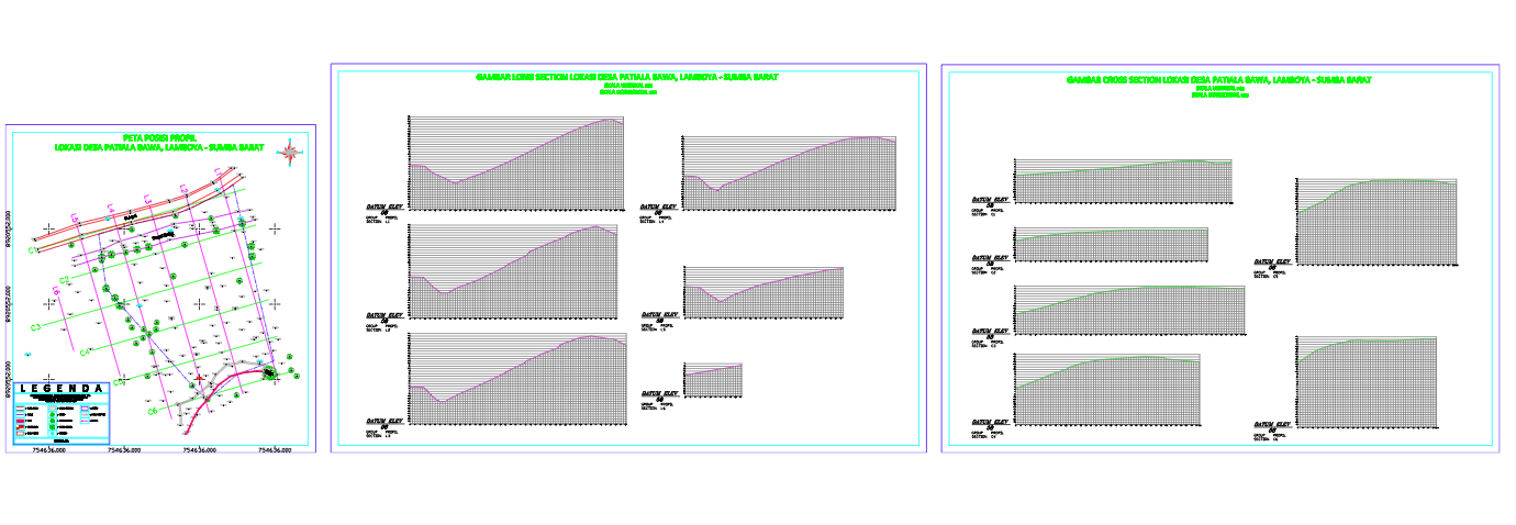
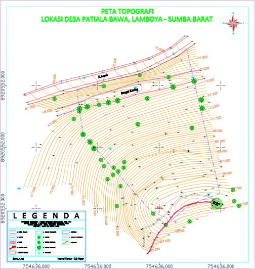
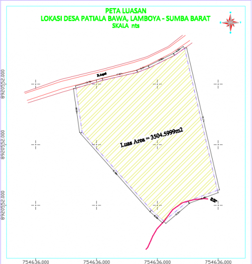
A Topographic Survey is often the first stage of any development project, mapping the site, its features and topography. Appropriate topographic surveys form a core element of successful habitat design and water level management planning.
We offer a comprehensive range of technical support services to help you to deliver successful land and water management projects. Our topographic surveyors are equipped with GPS, Total Station and laser scanning measuring instruments.
They will employ both traditional surveying techniques and the latest laser technologies. Our surveyors will also prepare your survey data in a 2D CAD format or as a 3D terrain model which can be incorporated into a BIM model if required.
We are experienced in creating detailed site contour maps which are used in accurately determining suitable landscape and habitat design features, providing our clients with confidence that their desired outcomes will be met.